Winter Hiking in the Adirondacks: Wright Peak

Winter is my least favorite season. The stinging cold, the dead looking trees, the minimal sunlight. I really dislike it. But my love of nature just barely squeaks ahead of that dislike. So off I went to expand my comfort zone camping and hiking in the Adirondack High Peaks Wilderness, in the dead of February.
The target this time was Wright Peak, the 16th highest of the Adirondack 46 high peaks. Named for Silas Wright, a US Senator and Governor of New York during the Jacksonian Era, it’s the northernmost peak of the MacIntyre Range.
At 4,580 ft, it’s shorter than the other peaks on the range, but it’s just as steep and holds the record for being the windiest.
I wanted to get an early start, so I drove up the day early to setup a basecamp at the base of the mountain. Using what I learned from the last time I did some winter camping, I Insulated my tent, and spent the evening preparing my gear for the hike at dawn.

Winter camping with the REI Basecamp 6
The night was cold. According to the thermometer it got down to -7 Fahrenheit. But my portable propane heater was able to bring the tent up to 40 degrees. So it was manageable.
My alarm went off at first light. I made myself a quick breakfast of hot oatmeal and coffee, and double checked that I had all the cold weather gear I would need for this ascent.
I had already checked the night prior, but you can’t be too safe. Mistakes have a way of compounding themselves in the cold.
I started on the Van Hoevenberg Trail as it first took a slight downhill route through a distinctive tall hemlock forest.

I have done more than a few hikes starting from this location, and have become familiar with this particular segment.
Walking through these trees felt like being welcomed by an old friend. And on the return trip, they always seem to welcome me back as an encouraging sign that I am almost out of the wilderness.

At 1 mile, I came to a fork. Left would lead me down to Marcy Dam where I had camped the past November to climb Phelps Mtn.
This time I would continue on straight.
The path gradually became more inclined and at roughly 2.5 miles I came to a steep snow covered slab that took some effort to walk up with snowshoes.
The snowshoes are required in the high peaks when snow is this deep. They not only make staying on top of the snow easier, but prevent you from ‘post holing’, and potentially breaking the ankles of other hikers when it freezes over.

Don’t be that guy.
The crunching of the snowshoes on the top layer of snow was pretty loud. But every once in a while I would stop to listen and hear the unique silence of the snow covered forest.
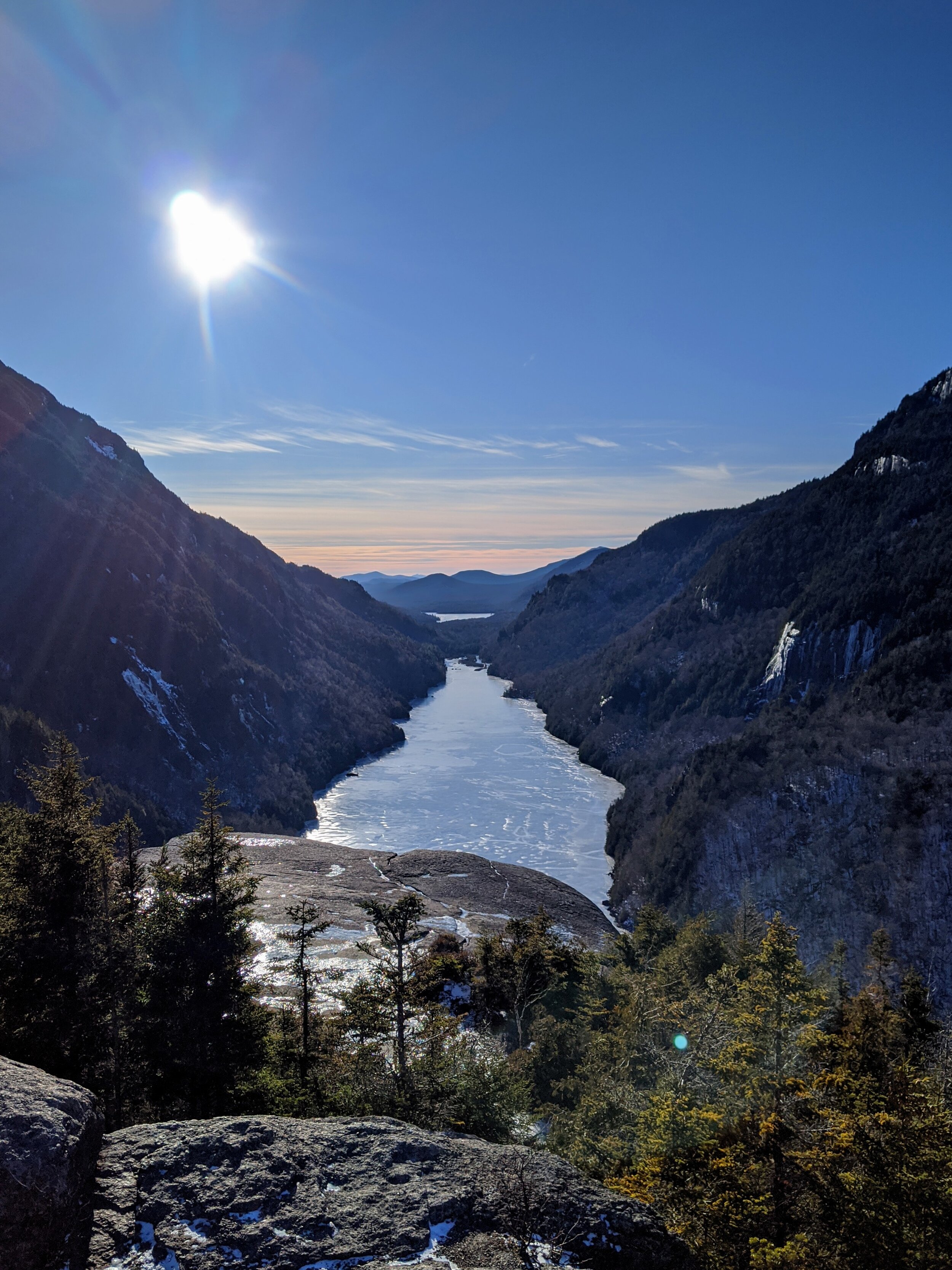
At around 3 miles, after passing the frozen MacIntyre Falls, the steepness let up as the trail settled into a small saddle between peaks.

I noticed my water was getting low and starting to freeze. I decided to stop here and boil some snow to help thaw it out.
It was well below zero, but at this point I was warming up and had already removed some layers.
Hiking in the winter is less about warmth management and more about moisture management.
Getting too warm can be a bad thing in sub-zero temps. As soon as you start to sweat, you’re in trouble. Once you stop moving that sweat works against you and quickly saps away at your body heat.
Being comfortably cool was the target. And having a moisture wicking/breathable base layer made of merino wool was key. But now that I had stopped moving I was going from comfortably cool to debilitatingly cold. So I threw back on a few layers waiting for the snow to melt in my cookpot.
I noticed it was taking longer to boil than usual. Both the elevation and the low temps seemed to be causing my small stove to be far less efficient than normal. But once it got there I mixed the hot water in with the chunks of ice in my nalgene and got back on my way.

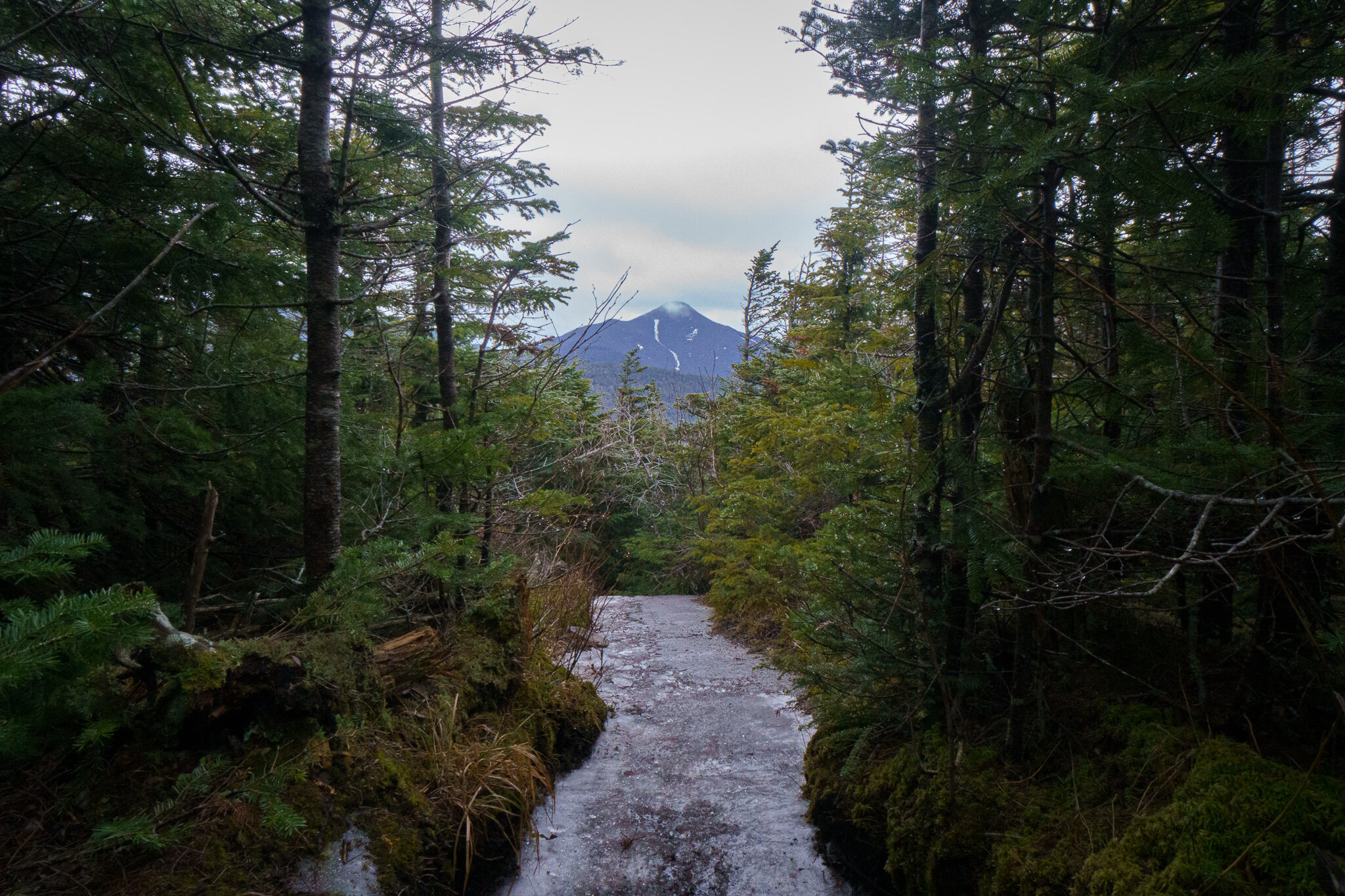
As the trees got shorter I was able to catch some amazing views of some neighboring peaks through the branches.
At 3.4 miles the Wright Peak Trail splits left. Continuing straight would bring you to the 2nd highest peak, Algonquin and then onto Iroquois peak beyond that.
I had climbed Algonquin once before, a few summers back. Although I took the less common eastern approach as part of a three day hike.
But on this frozen winter day,
I turned left towards Wright

Continuing up the steep snow covered rock slabs, I came to the infamous 10-foot rock wall gatekeeping the way to the Arctic-Alpine Zone.
This is the part I was most worried about. In my research I had read about different ways to get up this obstacle, but honestly with this much snow on the ground, the drifts acted as a snowy ramp and it wasn’t too tricky.
From here, the trees quickly disappeared and I entered the quarter mile stretch of Wright's bald summit area.


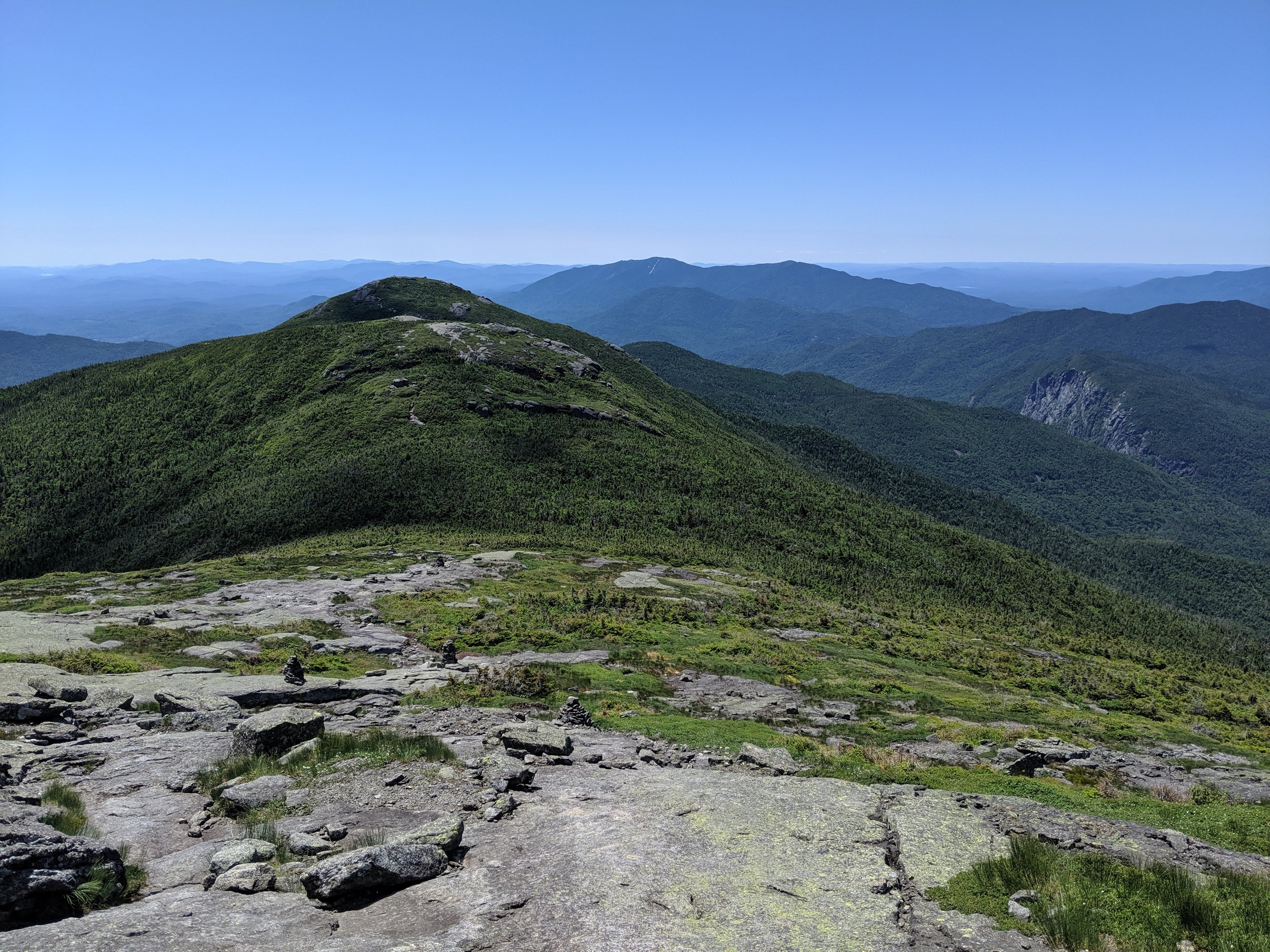
It’s hard to get a sense of scale when in dense tree cover. But here in the alpine zone, seeing the behemoths that were the other peaks around me was truly humbling.


It was a steep and windy climb. So consistently windy that the snow had little chance to accumulate up here.

The final ascent on frozen open rock took me over one small false summit and then onto the true summit atop a large boulder, giving me expansive 360 degree views of the whole area.
Algonquin stood tall to my right, Mt Colden to the southeast, and the bright snow capped peak of Mt. Marcy, the tallest in NY, beyond that.

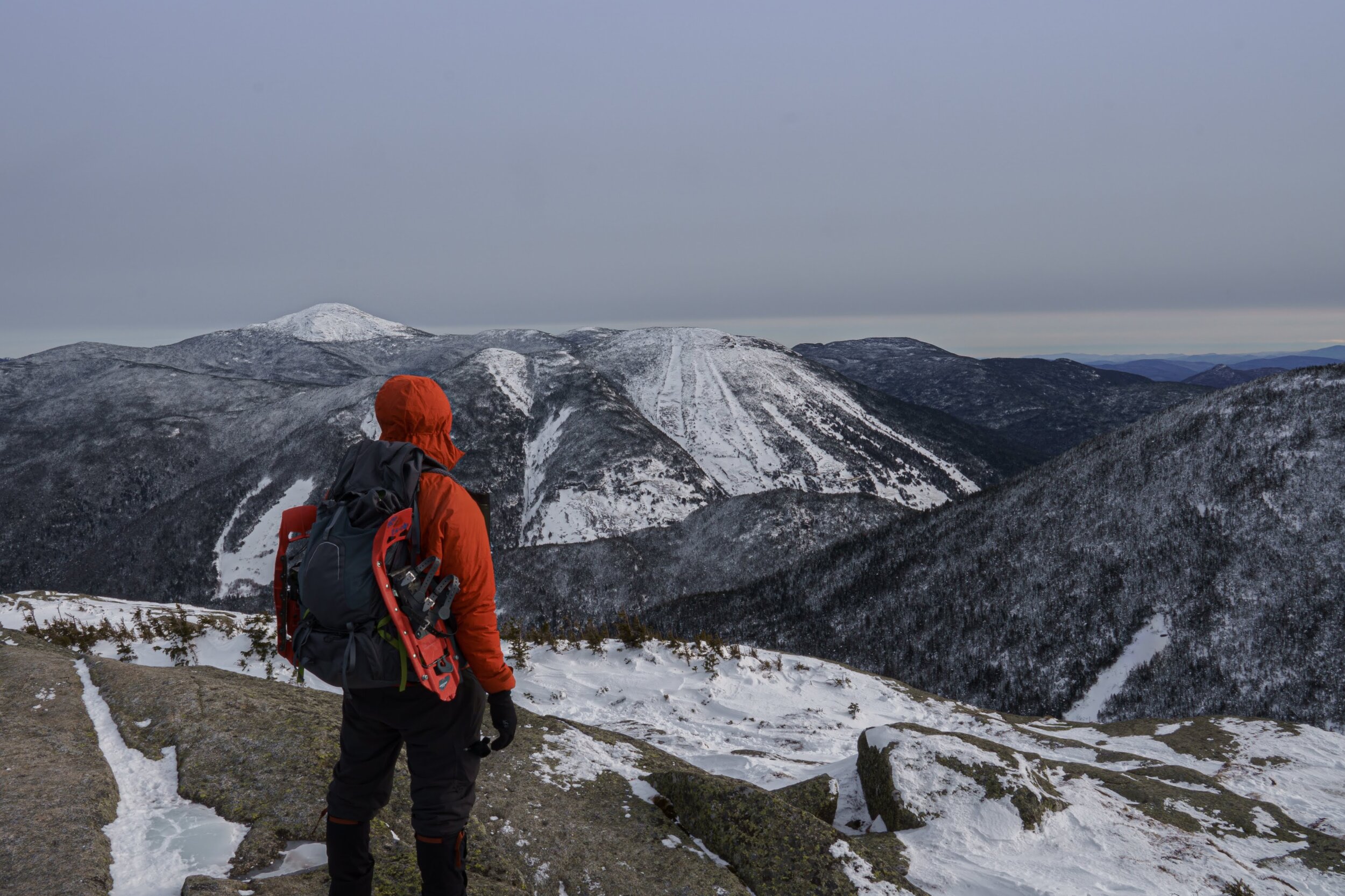
On any other hike, I'd have hung out at the summit to have lunch and take in the views. But the wind was picking up and my fingers and toes were beginning to sting. I would later learn that the windchill at the summit reached -20. Needless to say, I did not stay up there for long.

Couldn’t leave without taking a summit selfie though.
With numbness setting in, I made my way back down with exaggerated exertion in an attempt to get blood flowing back to my extremities.

Once I was back in the tree cover I was able to warm up as I made my way back to camp the way I came up.
It’s funny, huffing and puffing on the way up I was saying to myself, “This sucks. I’m cold. I’m out of breath and out of shape. Why do I do this to myself? This voluntary misery.” But on the way down, I couldn’t help but think, “that was awesome. I needed that. I need to do this more often.”